-
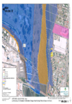
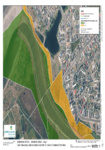
Appendix B: Application Area and Land Ownership
This document contains aerial maps of the areas within the resource consent application.
alarm Published 06 Dec 2016 -
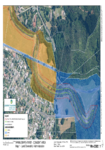
Appendix B: Application Area Maps
This document contains the aerial maps of the Wainuiomata River and areas included within the consent application.
alarm Published 06 Dec 2016 -
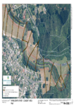
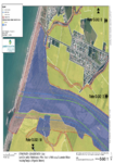
Appendix C: Land Ownership Maps
This document contains the aerial maps of land ownership within the area of the consent application.
alarm Published 06 Dec 2016 -
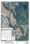
Appendix Ca: Land Ownership
This document contains the aerial maps of the area regarding GWRC asset and ecological information included in the consent application.
alarm Published 06 Dec 2016 -
Appendix B: Application Area and Land Ownership
This document contains aerial maps of the involved area within the application.
alarm Published 06 Dec 2016 -
Appendix B: Application Area and Land Ownership
This document contains the aerial maps and land ownership of the application area for WGN140054.
alarm Published 06 Dec 2016 -
-
-
Appendix B: Application Area and Land Ownership
This document contains aerial maps of the areas within the resource consent application.
There is no digital version of this document available, but you can get in touch with publications@gw.govt.nz to get a copy of the document.
alarm Published 05 Dec 2016 -
Ruamāhanga Whaitua Committee meeting/Monday 5 December 2016
WHEN: Monday 5 December 2016 12:00PM –6:00PM
WHERE: South Wairarapa Working Men’s Club, Greytown
alarm Published 05 Dec 2016